


sales@ziyanuav.com
WhatsApp/Telegram: +85365521828


 sales@ziyanuav.com
 Unit 101, building 2, Zhongdian high tech Industrial Park, Keji seventh Road, Tangjiawan Town, Xiangzhou District, Zhuhai, Guangdong, China


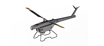
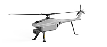
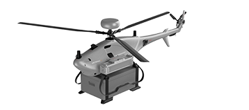
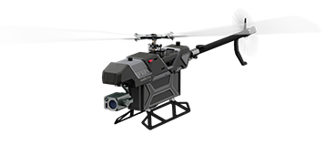
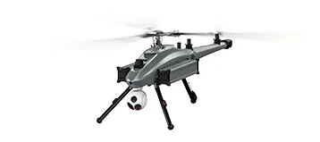
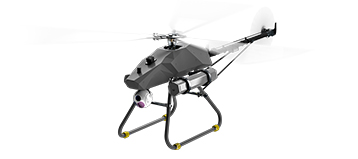
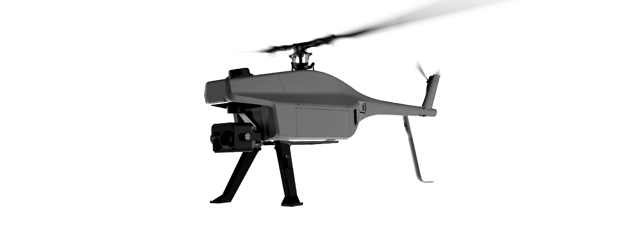
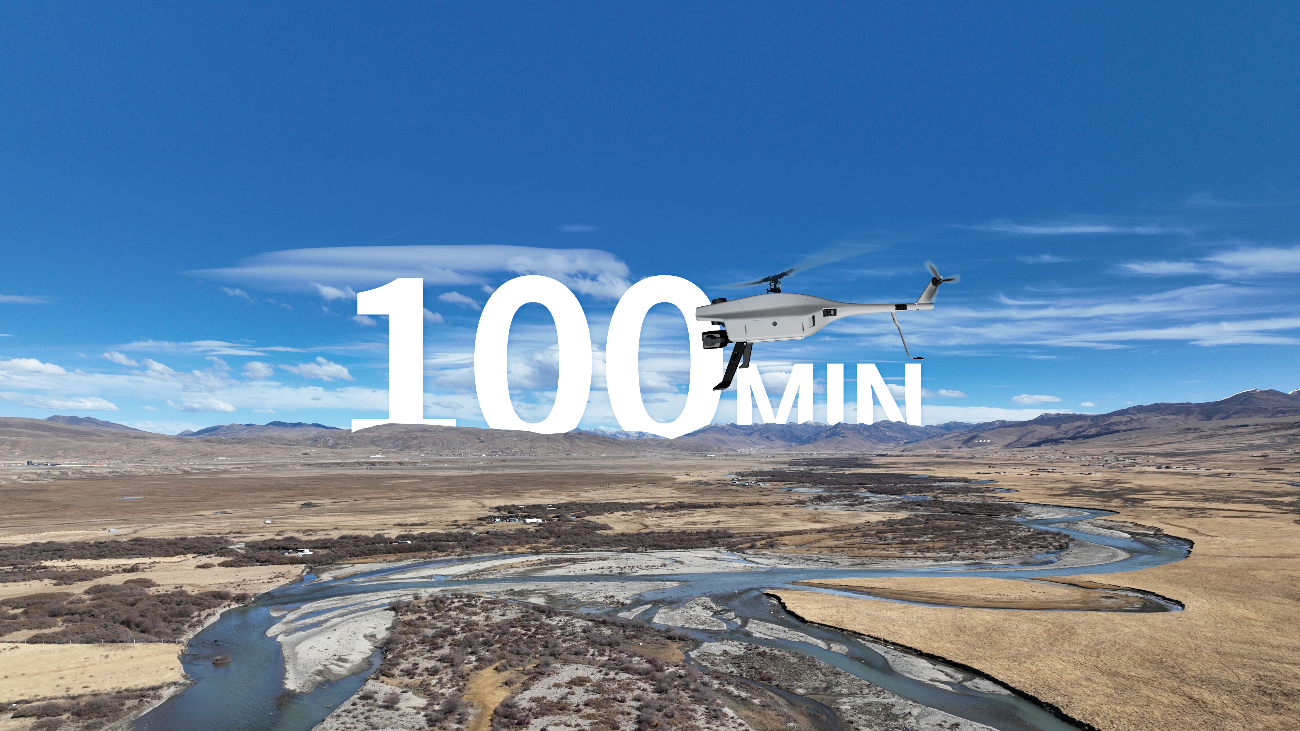
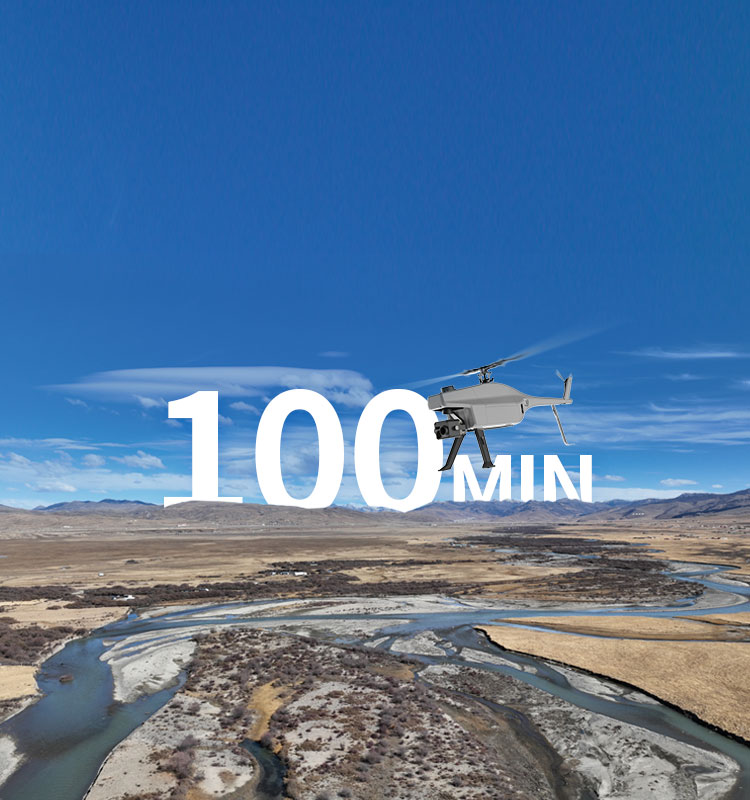
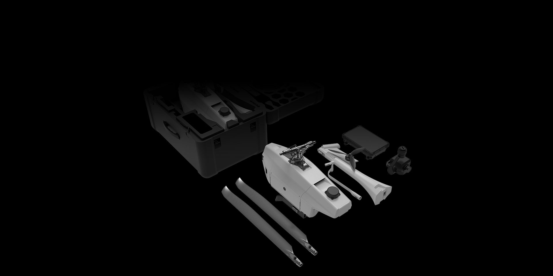
Small and Medium-sized UAVs
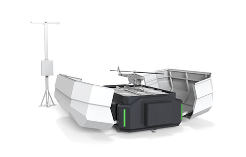
Industry-Proven UAV Solutions
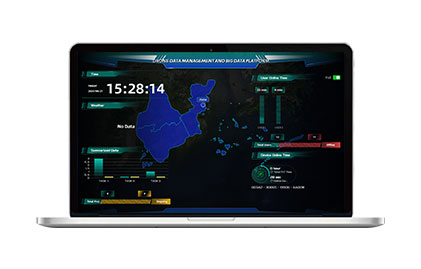
Full-Customized Services
Flight Training Services